Collect data in the field using the Czech mobile app.

Do you need to map your city?

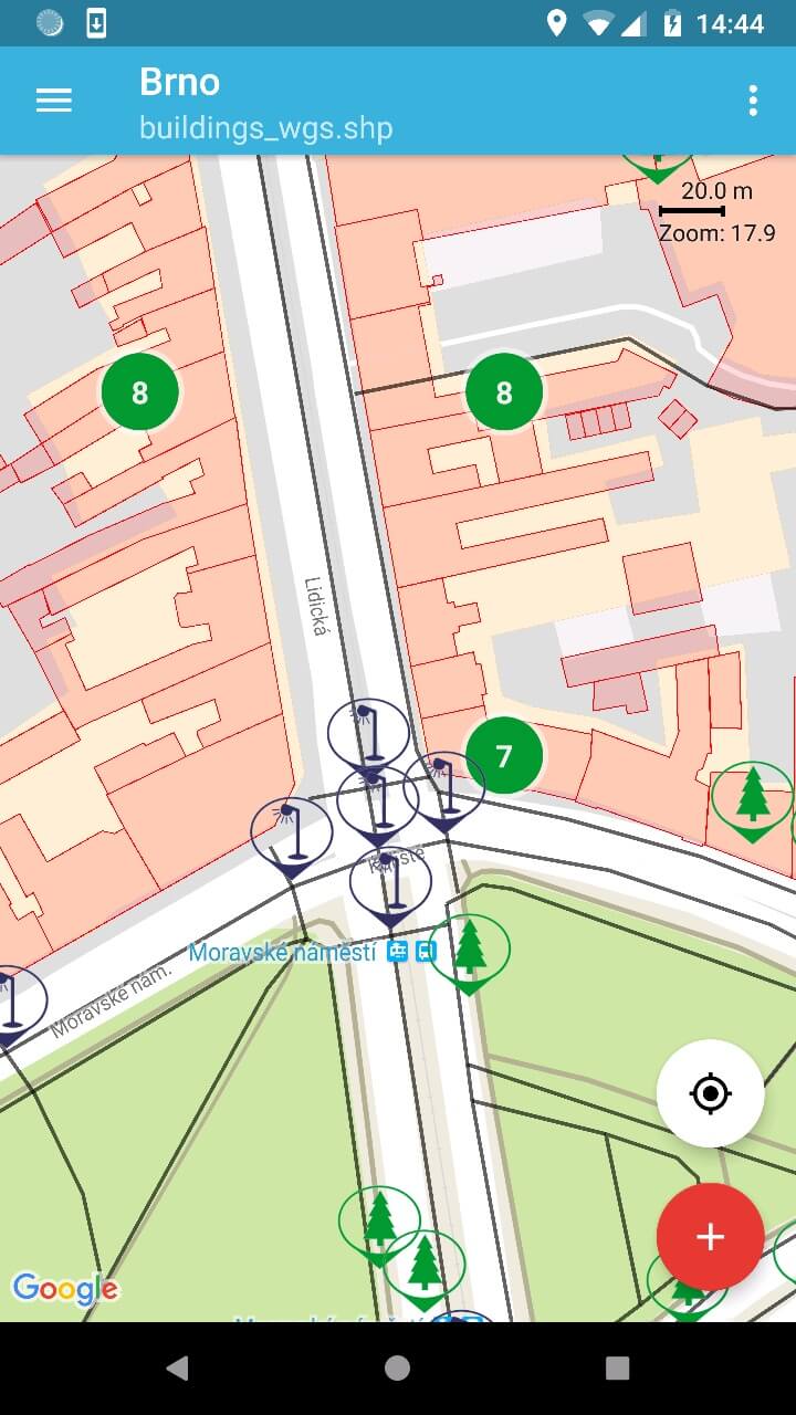
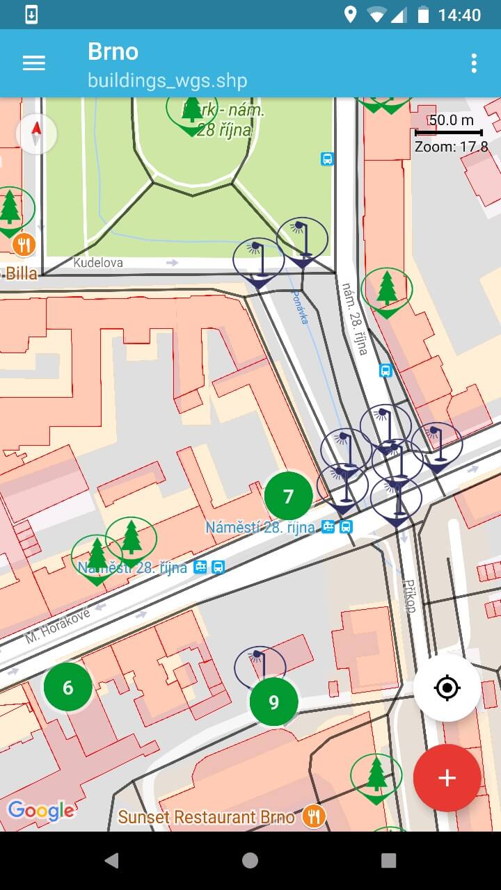
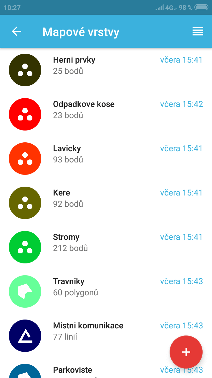
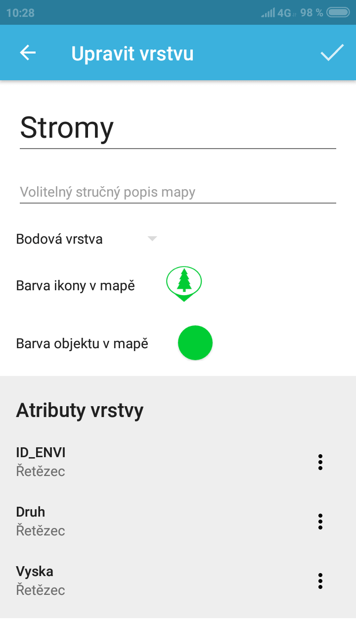
Do you need to map the state of traffic signs, public green areas, local roads, underground utilities, children's playgrounds, and public lighting. Gisella allows you to easily target everything in the field and export the measured data to a desktop GIS or, for example, to a WEGAS web application.

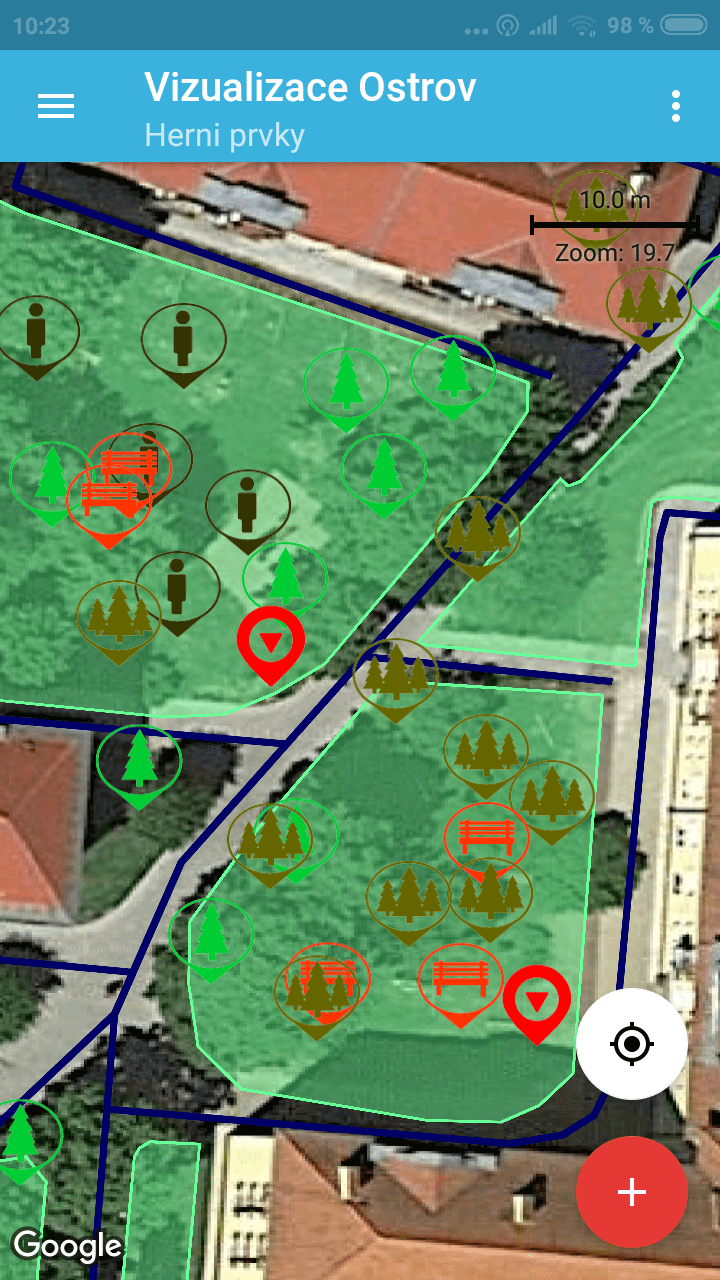
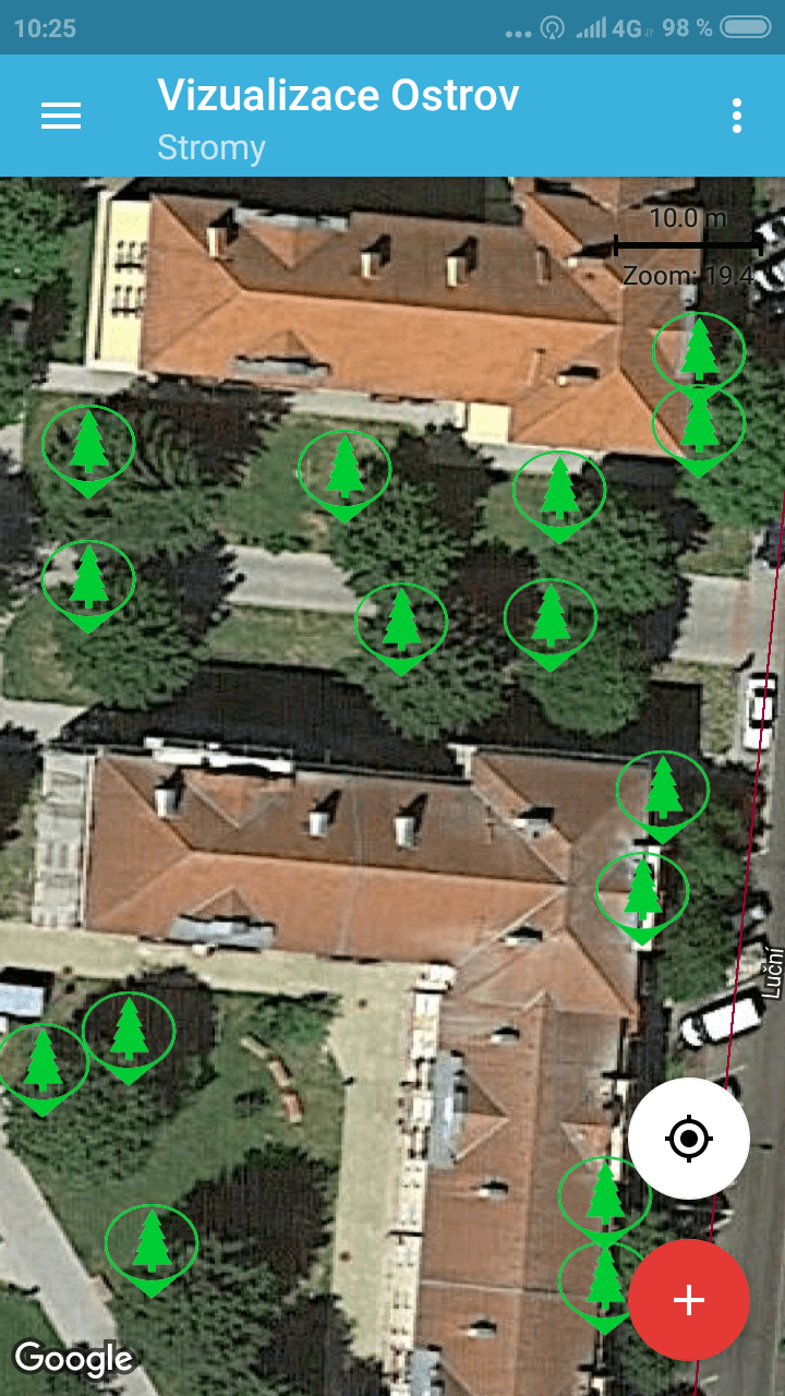
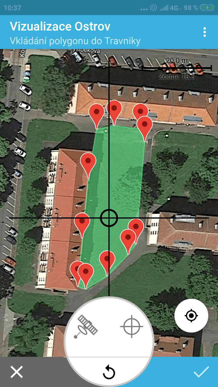
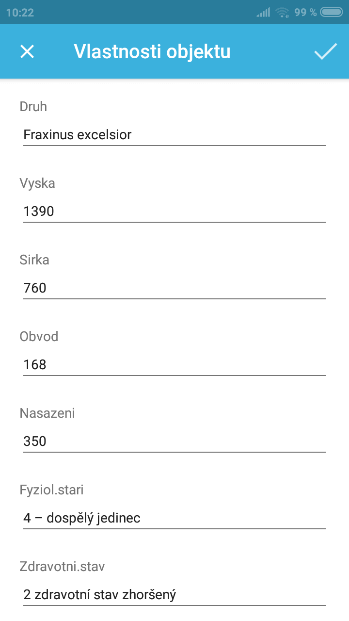
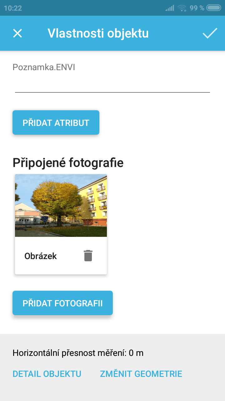
With Gisella, you can focus points, lines and polygons, record all the available features and even attach photos.

You will appreciate the speed of mapping, especially in case of a crisis like a flood. In a moment, you will get accurate data directly from the affected area!


Do you care about nature?

Have you ever thought that you would record an occurance of a protected animal or make a photo and a description of a plant with a precise GPS position in the field and hand it over to colleagues? No more writing coordinates and notes. Keep everything in one place!

Do you want to share mapped places with your friends? You can target them with Gisella, export to KML and share with Google Maps or Google Drive.

Gisella is also able to record your walking path, current position, or enter a point, line, or polygon manually on the touch screen.


Do you carry out sociological research?

Do you conduct opinion polls, interviews, just sociological research? Obviously you will record everything properly, write it down and then process it. How about using Gisella app, which will allow you to upload an interview that will be automatically filled in with space and time? Or fill out a questionnaire directly in the app and generate a KML file with the positions of all interviews? You will definitely save hours of time.


Why you should use Gisella?

Czech Product

Since the application was developed in the Czech Republic, you can download Gisella either in English or Czech language therefore it is suitable for wide range of users. It is up to you which language you prefer.

Compatibility

The application supports GeoJSON, KML and Esri Shapefile. It excels in collaboration with QGIS, ArcGIS, WEGAS and many others.

Integration with Google Drive

Gisella data can be conveniently uploaded to Google Drive and then easily downloaded to another device: mobile, tablet or computer.

Are you a beginner?

There is nothing easier than to process the collected data in Google My Maps for free. Take an advantage of exporting to KML and sharing to Google Drive.

Project management

As one of the few applications, Gisella allows you to create and manage all objects directly on your mobile device, from map objects, layers to entire map projects.

Cost reduction

Thanks to accurate and up-to-date data, you reduce error rates, support your decisions with real data, and reduce property management costs.

We support science and education

The application was created in cooperation with Mendel University in Brno, where it is also used for teaching. For example, the students mapped out all the playgrounds and sports facilities in the Brno-North district as a part of their projects.

If you are interested in a free license for non-commercial scientific and school purposes, please do not hesitate to contact us.


Let's keep in touch

Thanks for your message. We will reply as soon as possible.
We are truly sorry but an error occurred. Contact us please by a different way.

Follow us

Facebook logo
If you have any question or wish, you can tell us on our Facebook page. We will be happy to help you!
YouTube logo
We have prepared several video tutorials for you on YouTube. Learn how to use the advanced functions of Gisella!
Support portal logo
We have also prepared a special website with tutorials, use cases and procedures for solving common problems.