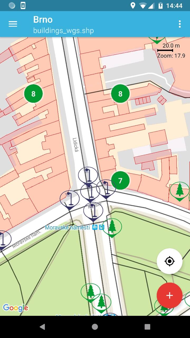
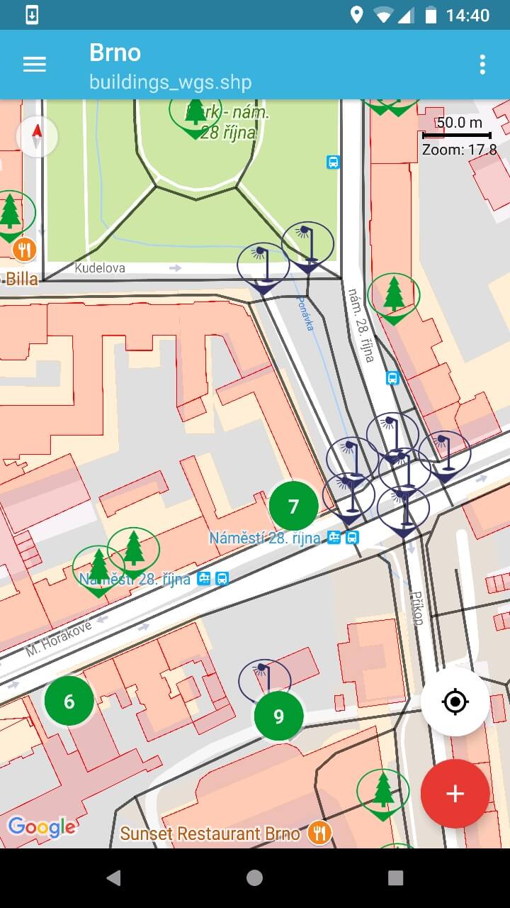
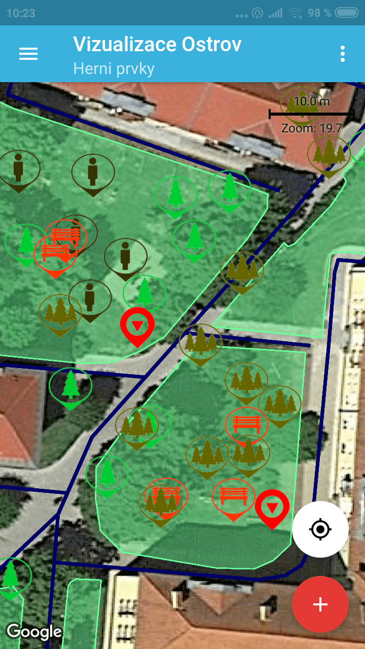
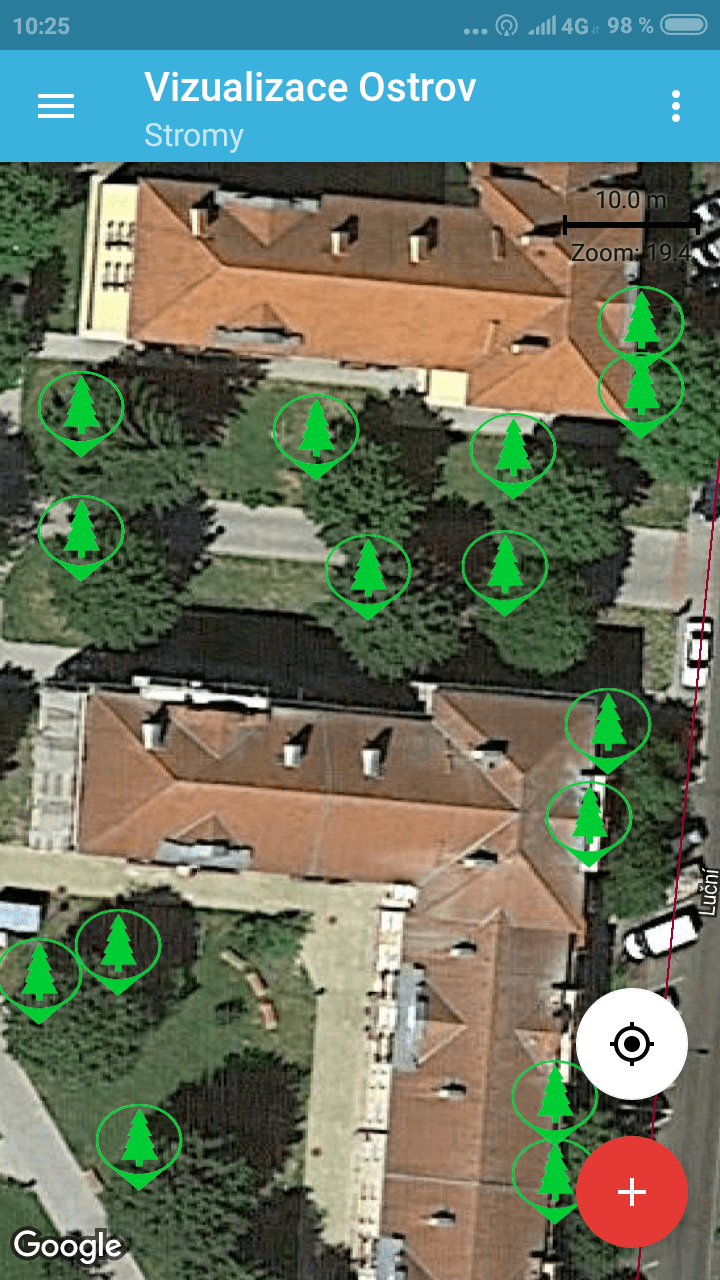
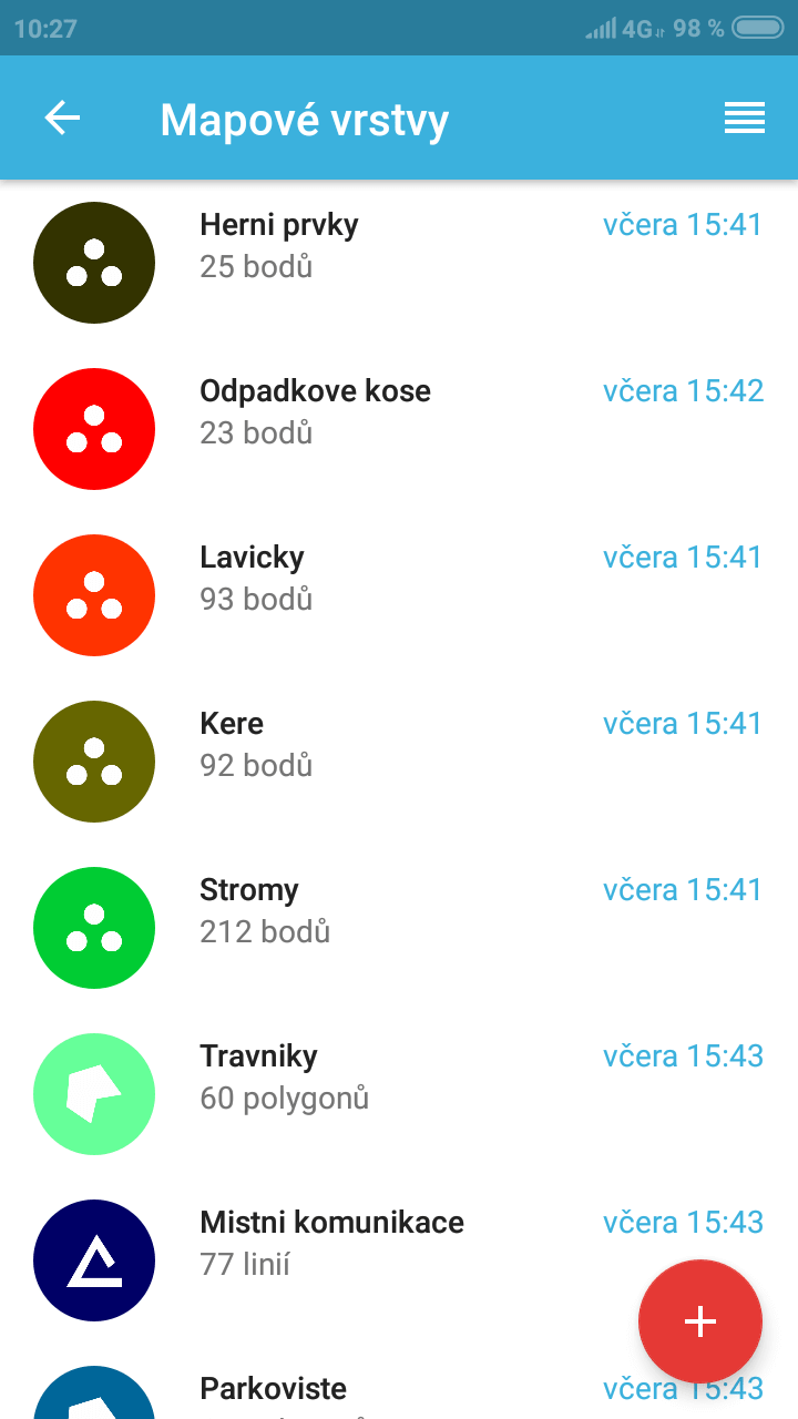
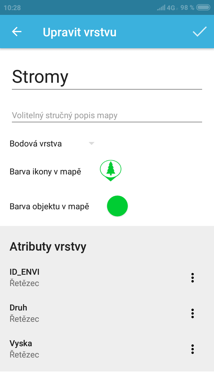
Do you need to map the state of traffic signs, public green areas, local roads, underground utilities, children's playgrounds, and public lighting. Gisella allows you to easily target everything in the field and export the measured data to a desktop GIS or, for example, to a WEGAS web application.
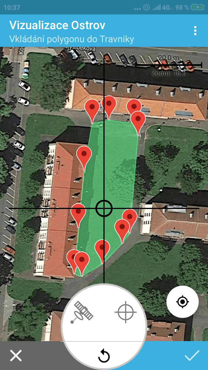
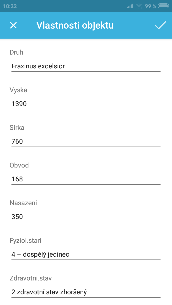
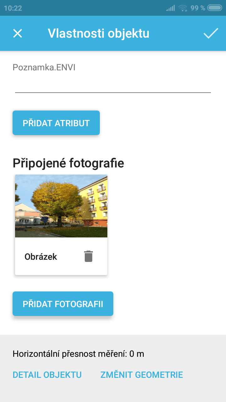
With Gisella, you can focus points, lines and polygons, record all the available features and even attach photos.
You will appreciate the speed of mapping, especially in case of a crisis like a flood. In a moment, you will get accurate data directly from the affected area!
